
Professional Land Surveyor Serving the Wyoming Valley and Northeastern Pennsylvania
Boundary Surveys • Subdivision & Mapping • Flood Elevation Certificates
Locally owned.
Licensed Pennsylvania Professional Land Surveyor.
Have questions about your property?
Call or email for a project specific quote.
Our Services
Breaker Surveying Company, LLC provides professional land surveying services throughout the Wyoming Valley and Northeastern Pennsylvania, including Luzerne, Lackawanna, and Sullivan Counties.
We regularly serve Kingston, Wilkes-Barre, Pittston, Dallas, Scranton, and surrounding communities.
Our services include boundary surveys, mapping documentation, and FEMA-compliant flood elevation certificates. All work is performed in accordance with applicable Pennsylvania laws and professional standards, with clear communication from start to finish.
-
A boundary survey involves the research and evaluation of recorded deeds, plans, and other available evidence, combined with field measurements, to locate and identify property boundary lines and existing monuments.
-
Subdivision plans, lot consolidations, and revisions prepared for municipal submission and recording.
-
Certified elevation documentation for flood insurance, refinancing, and real estate transactions.
In the Field
Each boundary survey begins with careful record research and field investigation to locate and verify original monumentation.
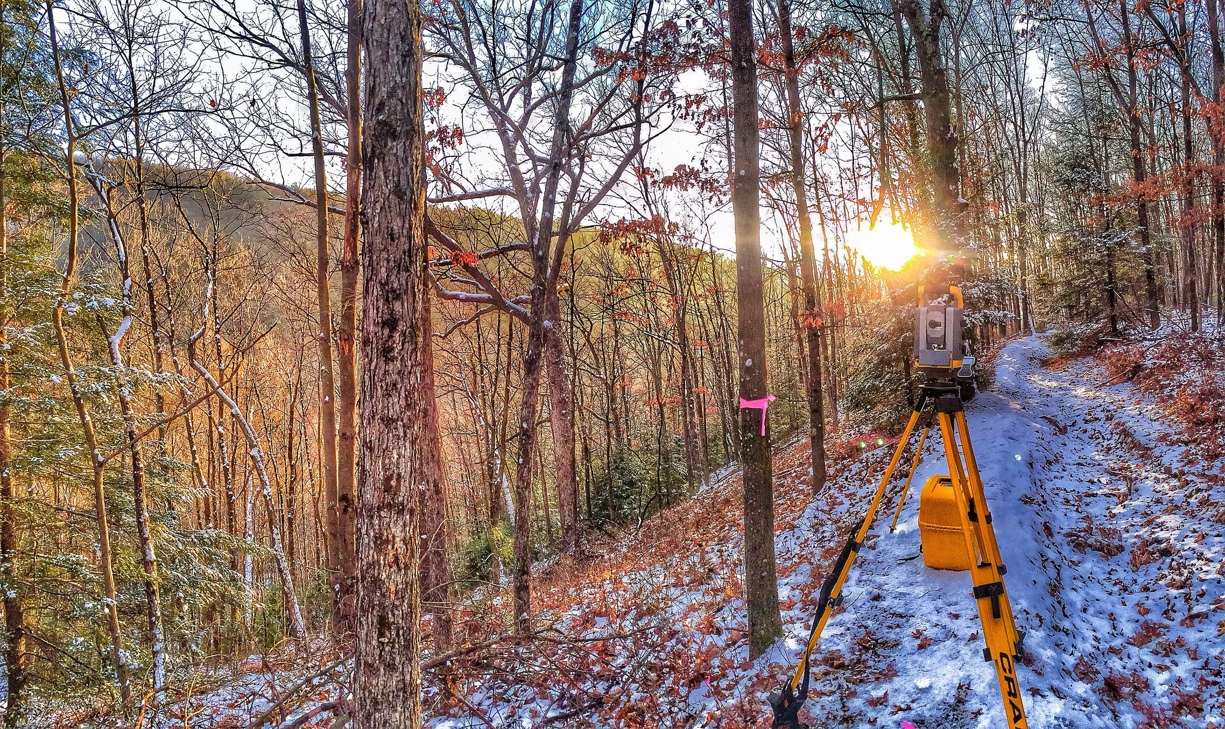
Boundary retracement survey — Dallas, PA
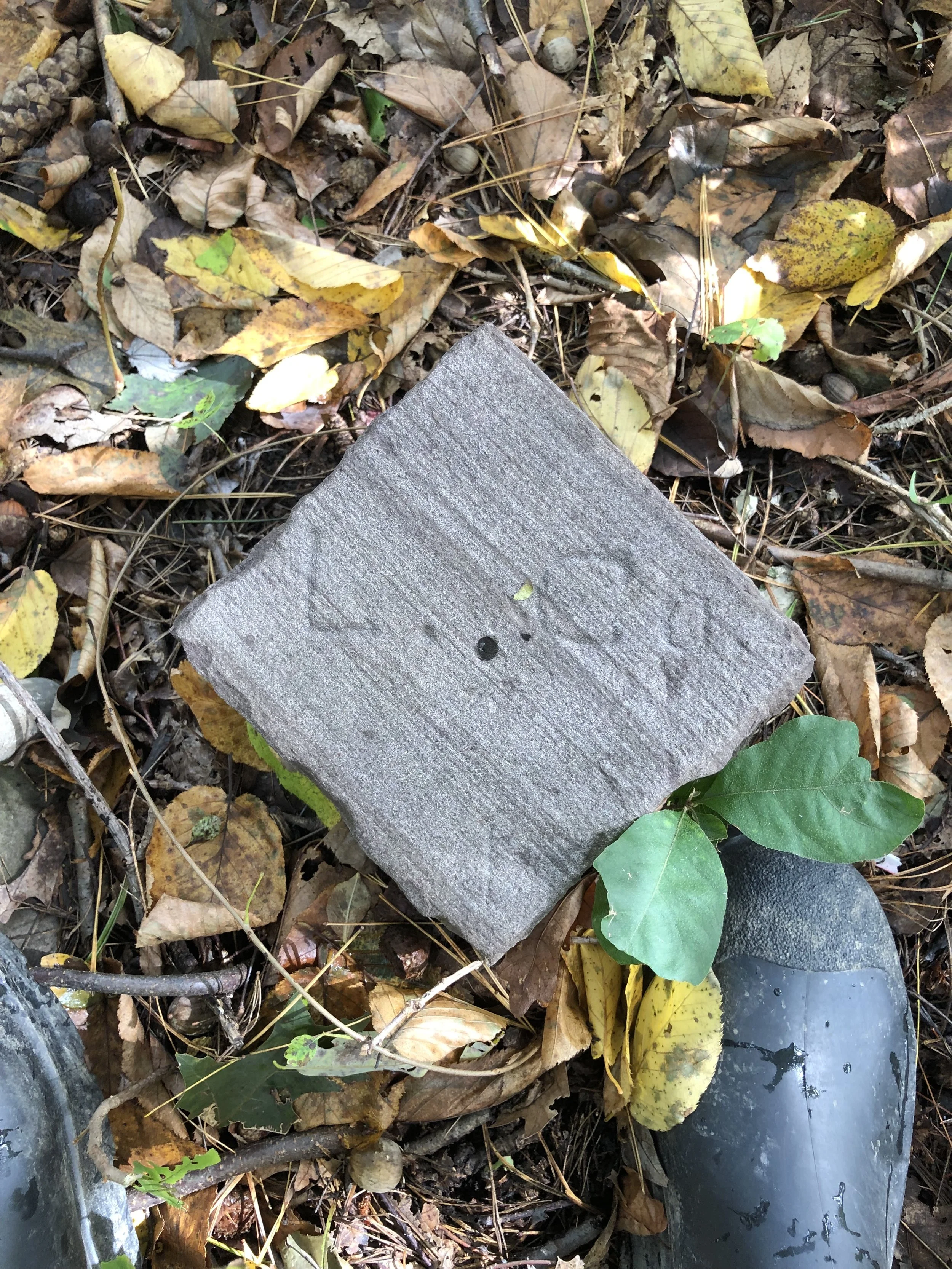
Recovered original set stone monument marking a boundary corner — Hunlock Creek, PA
Have Questions?
Find answers about boundary surveys, subdivision plans, and elevation certificates.